Research
Micro Air Vehicle (MAV) position tracking
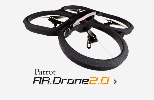
During the period I spent at the Robotics and Perception Group at the University of Zurich (led by prof. Davide Scaramuzza) I contributed to the development of a purely vision-based position tracking technique for Micro Air Vehicles (MAVs). The Parrot ArDrone 2 quadcopter is used for the experiments. The main scientific contribution is that, at the best of my knowledge, it is the first technique to use 3D cadastral city models in order to provide a metric localization estimate for a MAV.

An appearance-based global positioning system to localize MAVs is introduced. An air-ground image matching algorithm is used to search the airborne image perceived by the MAV within a ground-level Street View image database and to detect image matching points. Basing on the image matching points, the global position of the MAV is inferred by back-projecting the corresponding image points onto a cadastral 3D city model. Furthermore, an algorithm to track the position of the flying vehicle over several frames and to correct the accumulated drift of the visual odometry, whenever a good match is detected between the airborne MAV and the street-level images, is described. The proposed approach is tested on a dataset captured with a small quadroctopter flying in the streets of Zurich.
Reference papers:
Air-ground Matching: Appearance-based GPS-denied Urban Localization of Micro Aerial Vehicles, Andràs L. Majdik, Damiano Verda, Yves Albers-Schoenberg, Davide Scaramuzza, Journal of Field Robotics (JFR), October 2015
Micro Air Vehicle Localization and Position Tracking from Textured 3D Cadastral Models, Andràs L. Majdik, Damiano Verda, Yves Albers-Schoenberg, Davide Scaramuzza, International Conference on Robotics and Automation (ICRA) 2014


